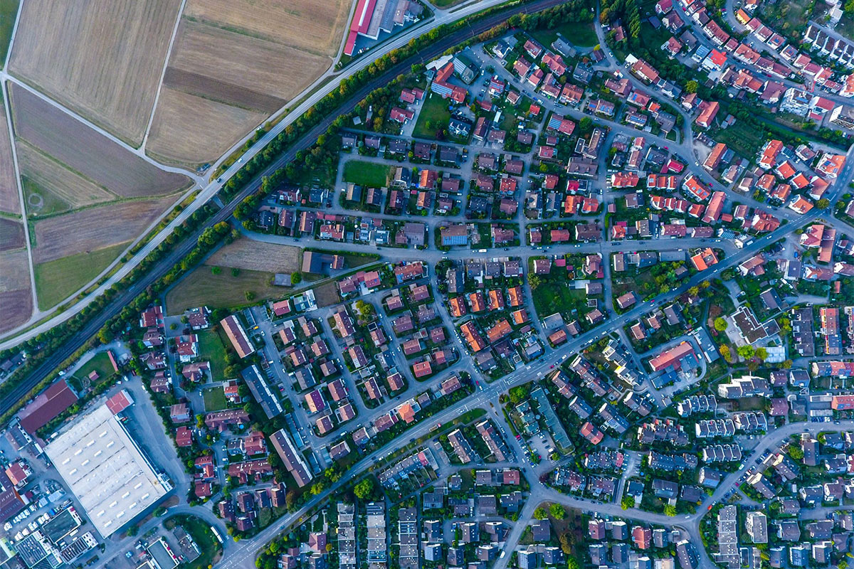
Just a few years ago, taking an aerial photo was a much more difficult task, one that required the photographer to get on an actual aircraft. After the proliferation of drones, there hasn’t been a shortage of videos and images that use bird’s eye view to present familiar spaces differently. But while aerial photographs are initially appreciated for their aesthetic appeal and for giving people a fresh perspective on familiar events and places, they also serve practical purposes in different fields and industries.
Here are some of the ways different industries utilize aerial imagery:
Gathering data for precision agriculture
Precision agriculture or site-specific farm management is an approach that uses information technology to ensure that the fields get adequate resources. To find out just how much supply is required by each field sector, as well as to minimize supply usage and maximize yields, farmers must first gather information about the current state of the crop. There are different ways of carrying out this task, one of which is through agricultural aerial spectral imagery. In this case, a manned aircraft armed with high-resolution cameras are flown over the field, capturing images of the crops at specific wavelengths. The images are then processed and interpreted, revealing water stress level, chlorophyll content, canopy vigor, and other factors that reveal information about crop health.
Monitoring emergency situations
Emergency situations such as natural disasters and acts of violence put a lot of people, including emergency workers, in danger. In this kind of event, aerial imagery is used to collect information on the affected area. Aircrafts with cameras can be deployed immediately to the location, giving rescuers a clear idea of what’s happening there. This prevents emergency workers from putting themselves directly in harm’s way just to assess the situation in a timely manner.
Covering festivals and events
Drones are increasingly seen in large events, including the most recent Olympic ceremonies. Aside from recording the event and putting on light shows, they are also extensively utilized in securing and monitoring festival and concert grounds. This is because they are not limited by ground traffic in the way that patrolling security personnel are. Aerial imagery allows organizers to catch activities that might be of interest to security and deploy personnel to exactly where they are needed. At the same time, because security drones are quiet and pretty unnoticeable, using them in events won’t diminish the experience of the attendees.
Surveying construction areas
Aerial imagery is also utilized in the different phases of construction. Before the actual work begins, aerial imagery is used to create 2D and 3D models of the area. The perspective offered by aerial imagery makes it really easy to take note of roads, canals, pipelines, and other linear infrastructures that don’t have ground control points. While construction is in full swing, drones with cameras can monitor real time progress and compliance with safety procedures, as well as assist in securing the area. Once the project has been completed, aerial imagery can be used to survey the area and check sections that are often overlooked by ground-based surveyors. If the finished property is for rent or sale, the footage can even be repurposed to showcase its features. After all, an aerial or panoramic shot of the area can provide prospective buyers or renters with an emotive experience of using the said space.
In addition to fulfilling these functions, aerial imagery is also extensively utilized in the scientific field, particularly in geography and environmental science. As access to the technologies that enable aerial photography and videography becomes easier, it’s certain that more and more industries will adopt and use aerial imagery in their daily operations.

